
Discover the Unseen: Rapixel Hyperspectral Cameras for Mining Exploration
Transform field reconnaissance, UAV surveys and core logging with full‑spectrum hyperspectral imaging (VNIR–LWIR). Rapixel delivers laboratory‑grade mineral mapping in the field — faster, safer, and more data-driven.

Precision mineral mapping from outcrop to core
Unlike RGB or multispectral systems, hyperspectral imaging captures hundreds of narrow, continuous bands. That spectral richness reveals mineral "fingerprints" — enabling clear detection of clays, carbonates, iron oxides, silica, REEs and alteration halos critical for exploration.
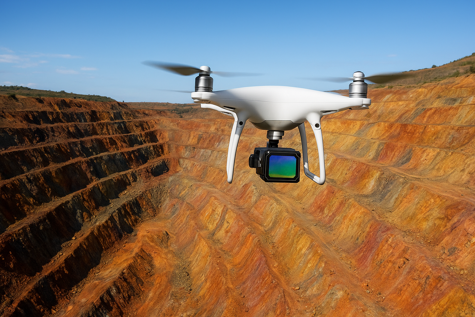
Field & UAV Mapping
Fast, large‑area reconnaissance
Mount Rapixel HSI systems on UAVs or aircraft to generate high-resolution spectral maps of open-pit walls, outcrops and inaccessible terrains — ideal for identifying alteration zones and prioritizing drill targets.
- Rapid aerial surveys over large claims
- Automated lithology & alteration classification
- Integrate with orthophotos & 3D models
Core & Lab Analysis
Quantitative, repeatable core logging
Use Rapixel line-scan and table scanners to image drill cores and rock slabs — producing laboratory-grade mineralogy without destructive sampling. Accelerate core logging and improve correlation between drillholes.
- Fast core tray scanning and spectral validation
- Non-destructive mineral abundance estimation
- Compatible with spectral libraries and ML workflows
Key Spectral Bands & Their Use Cases
Choose the right band for the job — Rapixel supports VNIR, SWIR, MWIR & LWIR imaging.
Oxidation zones, vegetation mapping, early alteration detection
Clays, carbonates, hydrothermal alteration — essential for porphyry & sedimentary systems
Hydrated minerals and hydrocarbons
Silicates & lithology discrimination via emissivity
Mining Use Cases

UAV Outcrop & Pit Mapping
Prioritize drill targets and map alteration halos remotely.

Core Scanning & Logging
Automate core logging and correlate mineralogy across drillholes.

Ore Sorting & Process Control
Real-time material classification on conveyors and vehicles.
Typical Minerals Detected
Common targets in exploration and mining operations
Iron oxides (hematite, goethite), rare earth elements (REEs), clays (kaolinite, illite, montmorillonite), carbonates (calcite, dolomite), sulfates (alunite, gypsum) and silica (quartz).
End‑to‑End Workflow & Tools
From field to lab: scan, classify, validate
Rapixel provides modular hardware, imaging workstations and software integration for spectral library building, machine learning classification and validation. Deploy on UAVs for reconnaissance, in the field on tripods for near-surface mapping, or in the lab for high‑resolution core scanning.
© Rapixel Tech — Seeing Beyond the Visible. For custom integration, data services or pilot programs, contact our team
Share:
Precision in Every Frame — Mars Series High-Speed Cameras Empower Motion Analysis with Kinovea
Empowering Plant Phenotyping with Hyperspectral Imaging — Rapixel Leads the Next Era of AgriTech Innovation